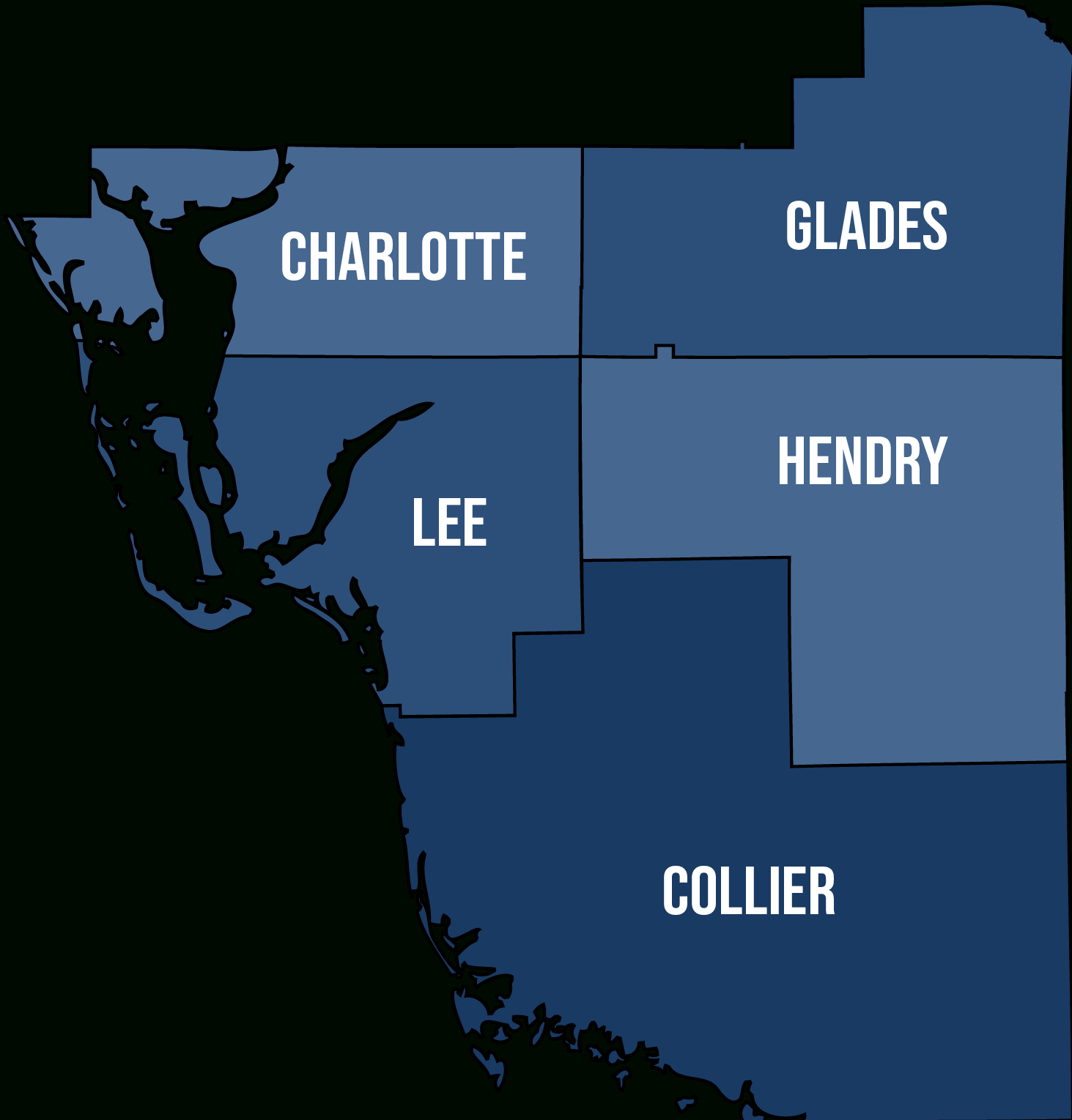
Maps of Florida | County Map of Southwest Florida – Welcome to the Sunshine State, where the sun always shines bright and the beaches are just a stone’s throw away. Southwest Florida is a popular destination for tourists and locals alike, boasting beautiful coastlines, vibrant communities, and an abundance of outdoor activities to enjoy. One of the best ways to explore this region is by using a Southwest Florida county map, which will help you navigate your way through the various counties and discover all the hidden gems this area has to offer.
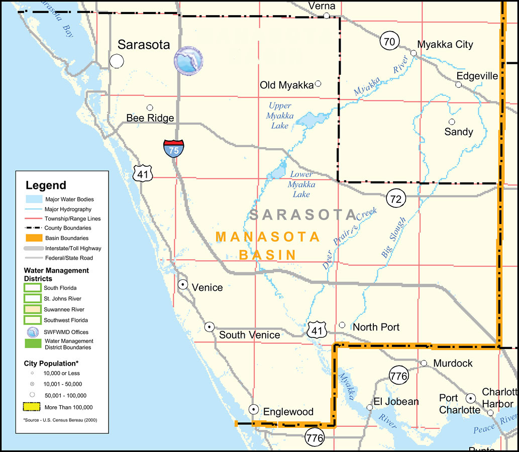
Let’s Explore the Counties Together
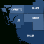
Collier County: Known for its upscale communities and stunning natural beauty, Collier County is home to the picturesque city of Naples. With its white sandy beaches, world-class shopping and dining options, and top-notch golf courses, this county is a true paradise for those seeking a luxurious getaway. Don’t miss out on exploring the Everglades National Park, where you can spot alligators, manatees, and a variety of bird species in their natural habitat.
Lee County: As the most populous county in Southwest Florida, Lee County is a bustling hub of activity with plenty to see and do. Fort Myers, the county seat, is a vibrant city with a rich history and a thriving arts scene. Visit the Edison and Ford Winter Estates, stroll along the charming streets of downtown Fort Myers, or spend a day at one of the county’s many beautiful beaches. Lee County is also home to the iconic Sanibel and Captiva Islands, known for their shell-covered beaches and laid-back vibe.
Charlotte County: Nestled along the Gulf Coast, Charlotte County offers a more laid-back and relaxed atmosphere compared to its neighboring counties. Punta Gorda, the county seat, is a charming waterfront city with a historic downtown area, picturesque parks, and a variety of waterfront dining options. Outdoor enthusiasts will love exploring the miles of hiking and biking trails in parks like Babcock Ranch Preserve and Gasparilla Island State Park. Don’t forget to take a scenic drive along the Tamiami Trail to soak in the natural beauty of this hidden gem of Southwest Florida.
Exploring Southwest Florida is a truly magical experience, and using a county map is the perfect way to discover all the unique and diverse offerings of this region. Whether you’re looking for upscale luxury, vibrant city life, or laid-back charm, the counties of Collier, Lee, and Charlotte have something for everyone. So grab your map, pack your sunscreen, and get ready to embark on an unforgettable adventure in the Sunshine State!
County Map of Southwest Florida
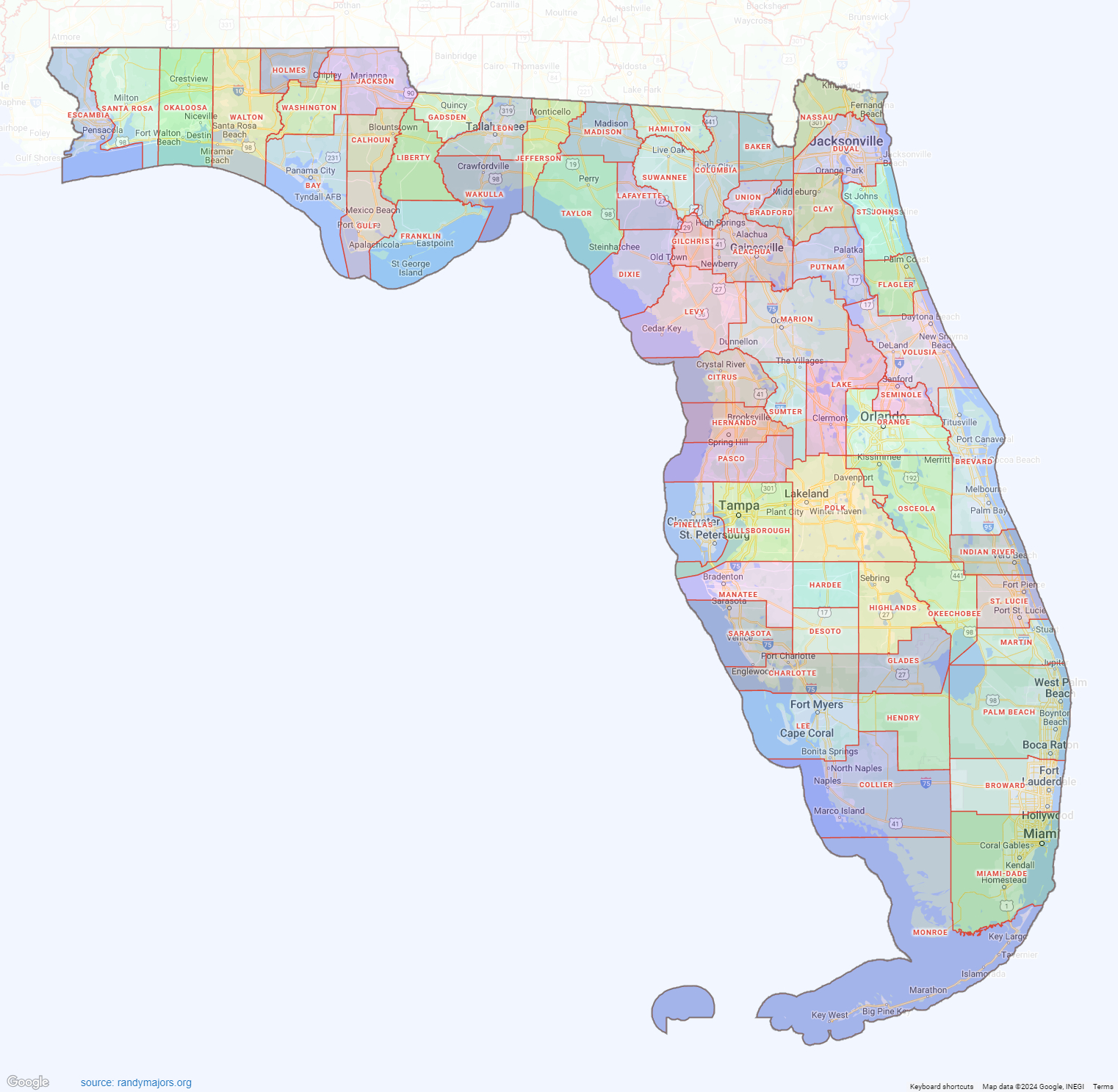
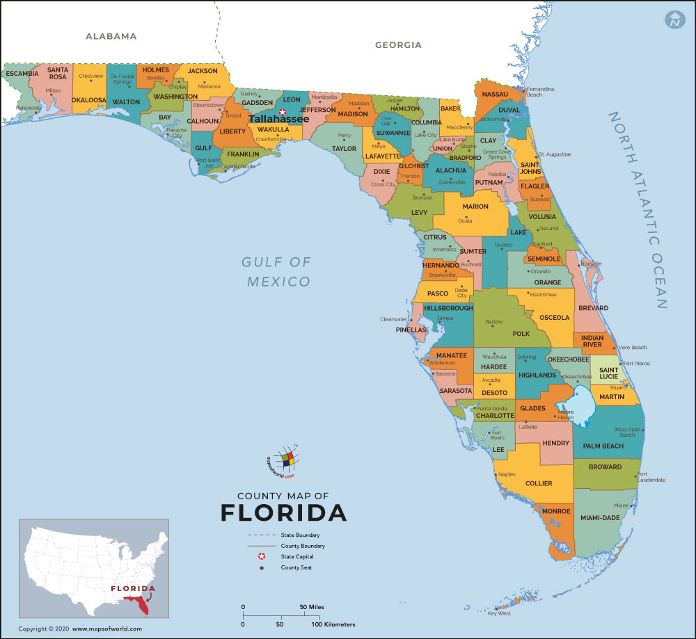
Related Map of Florida…
Image Copyright Notice: Images on this site are sourced from public search engines (Google, Bing, Yahoo, DuckDuckGo). If you own an image and wish to have it removed, please contact us with the URL. We will verify and remove it promptly.
