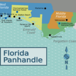
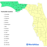
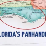
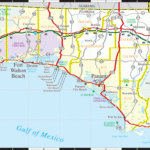
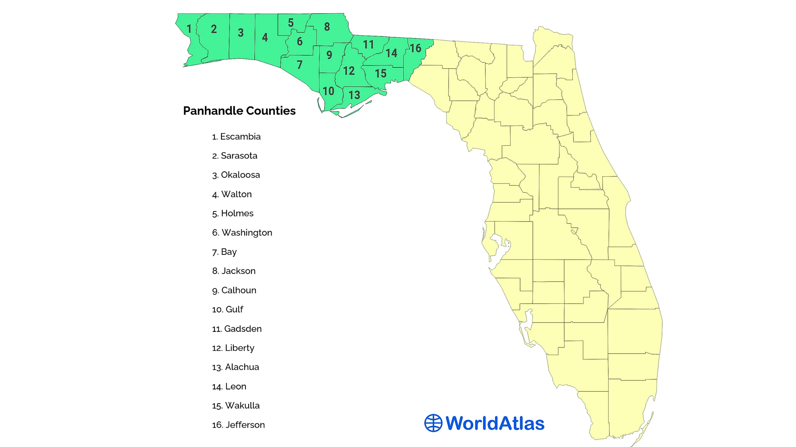
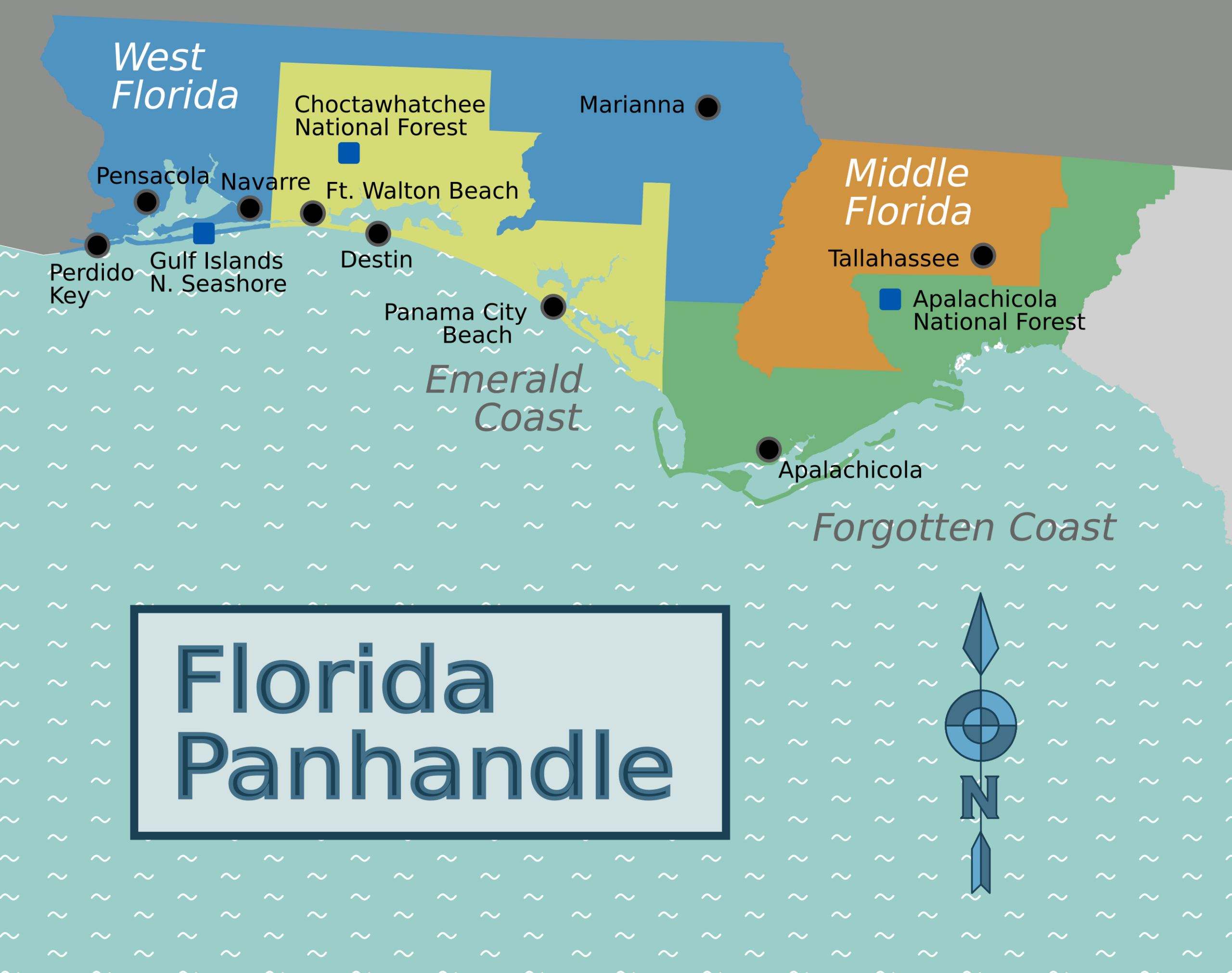
Maps of Florida | Map of the Florida Panhandle – The Florida Panhandle is a hidden gem waiting to be discovered by travelers looking to explore the Sunshine State beyond its famous theme parks and bustling cities. With its stunning coastline, charming beach towns, and unique natural landmarks, the Panhandle offers a truly unforgettable experience for those willing to venture off the beaten path. By using a Florida Panhandle map, visitors can navigate this picturesque region and uncover its hidden treasures that are sure to leave them in awe.
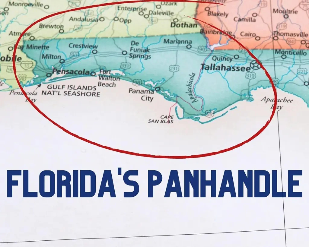
Discovering Hidden Gems in the Florida Panhandle
One of the best ways to uncover the hidden gems of the Florida Panhandle is by exploring its diverse state parks. From the crystal-clear springs of Edward Ball Wakulla Springs State Park to the rugged cliffs of Torreya State Park, each park offers a unique outdoor experience that showcases the natural beauty of the region. Visitors can hike through lush forests, kayak along scenic rivers, and even spot rare wildlife like manatees and bald eagles in their natural habitats.
In addition to its state parks, the Florida Panhandle is also home to charming coastal towns that are worth a visit. From the historic streets of Pensacola to the colorful cottages of Seaside, each town has its own unique charm and character that reflects the laid-back coastal lifestyle of the region. Visitors can stroll along sandy beaches, browse local shops and galleries, and indulge in fresh seafood at waterfront restaurants that offer stunning views of the Gulf of Mexico.
For those looking for a bit of adventure, the Florida Panhandle offers plenty of opportunities for outdoor activities like fishing, boating, and snorkeling. Whether exploring the underwater world of the Emerald Coast or taking a sunset cruise along the Apalachicola Bay, there’s no shortage of ways to experience the natural beauty of the region. With a Florida Panhandle map in hand, travelers can easily navigate the coastline and embark on their own unforgettable journey through this hidden paradise.
The Florida Panhandle is a true hidden gem that offers a unique blend of natural beauty, charming towns, and outdoor adventures just waiting to be discovered. By using a Florida Panhandle map to navigate this stunning region, travelers can uncover hidden gems that will leave them with memories to last a lifetime. So pack your bags, hit the road, and get ready to explore the Sunshine State’s best-kept secret – the Florida Panhandle.
Map of the Florida Panhandle
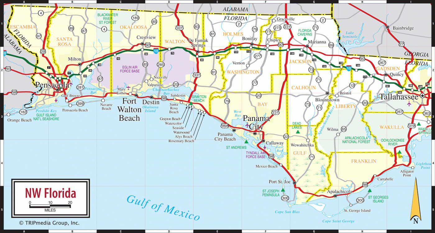
Related Map of Florida…
Image Copyright Notice: Images on this site are sourced from public search engines (Google, Bing, Yahoo, DuckDuckGo). If you own an image and wish to have it removed, please contact us with the URL. We will verify and remove it promptly.
